SharkSmart WA
Developed with the Department of Primary Industries and Regional Development, the all new ‘SharkSmart WA’ app helps WA beach goers switch on their ‘Sea Sense’.
year
2019 - Current
industry
Government
Services
React Native App Development
In 2014 The Department of Primary Industries and Regional Development (DPIRD), with help from Hatchd, launched the SharkSmart website to provide information about shark sightings and activity. It was evident from the start that the shark activity map was the most popular feature, attracting the majority of the traffic.
Recently, the Department has received a growing number of requests to release an app to make accessing shark activity on the go simpler. To achieve this they engaged Hatchd and Adapptor to conduct app design and architecture planning workshops to design an app that would meet the requirements of not only the general public but also people heavily invested in using WA's coast, including surfers, swimmers and divers.

To do the job effectively, Hatchd, Adapptor and DPIRD worked with a range of organisations to provide access to a variety of data, including over 5,000 coastal features, 41 SLSWA patrolled beaches and 801 (and growing) BEN signs. The app also integrates with DPIRD's world-class shark monitoring network that provides real-time alerts for tagged sharks and receives updates from beach and aerial surveillance.
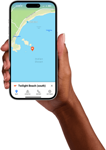
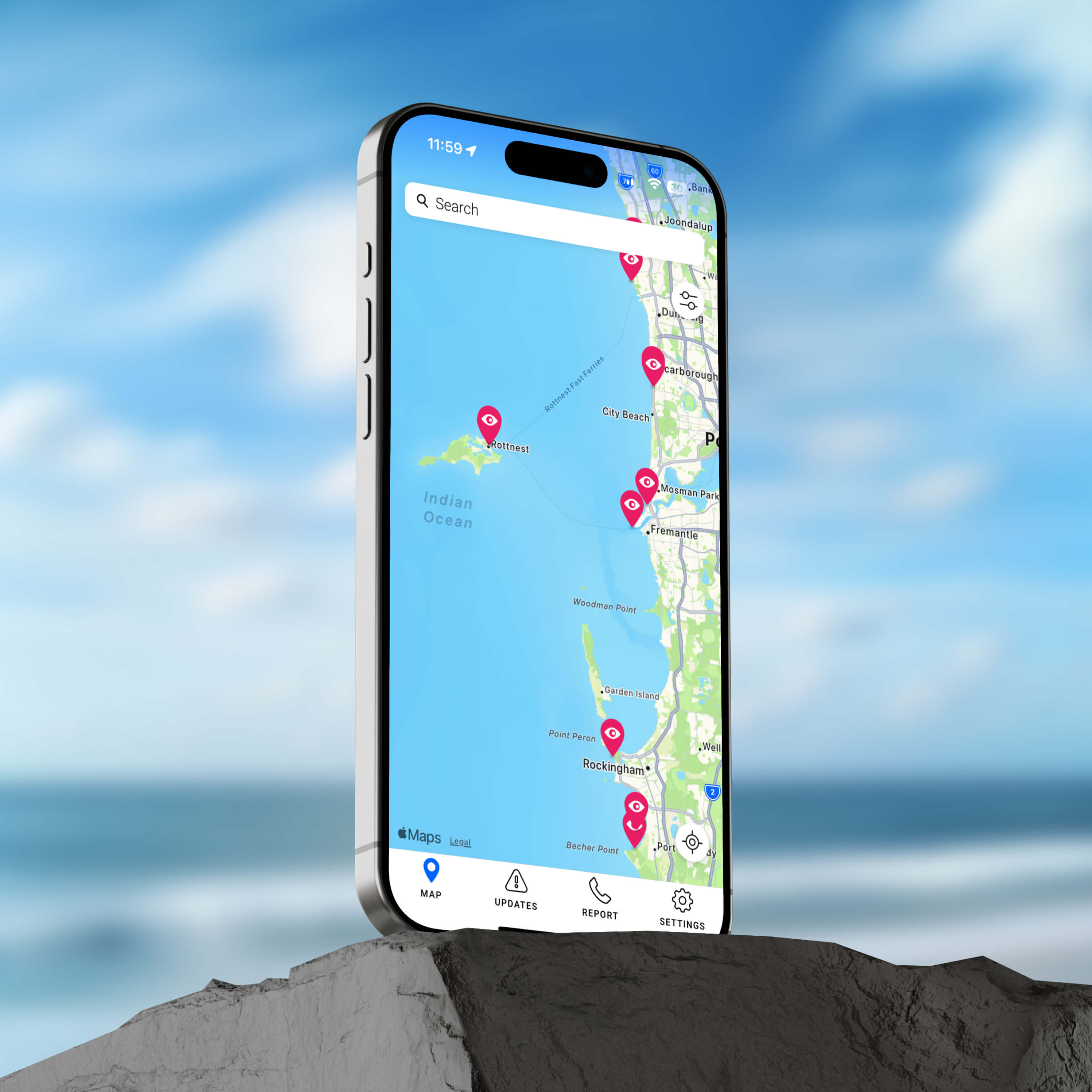
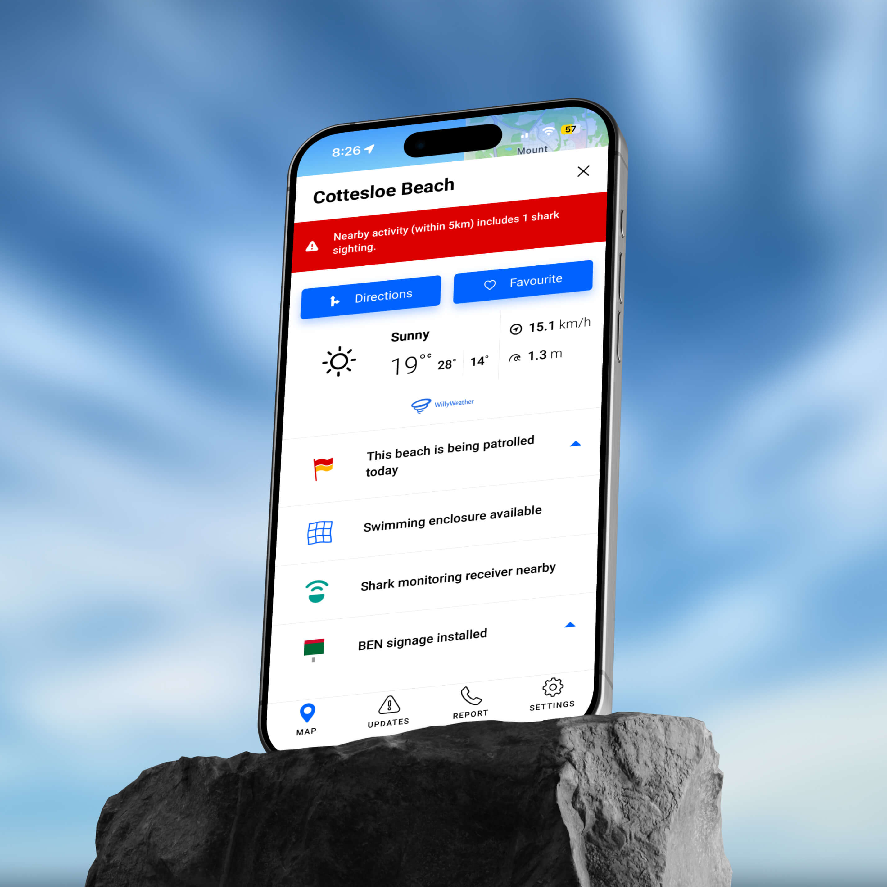
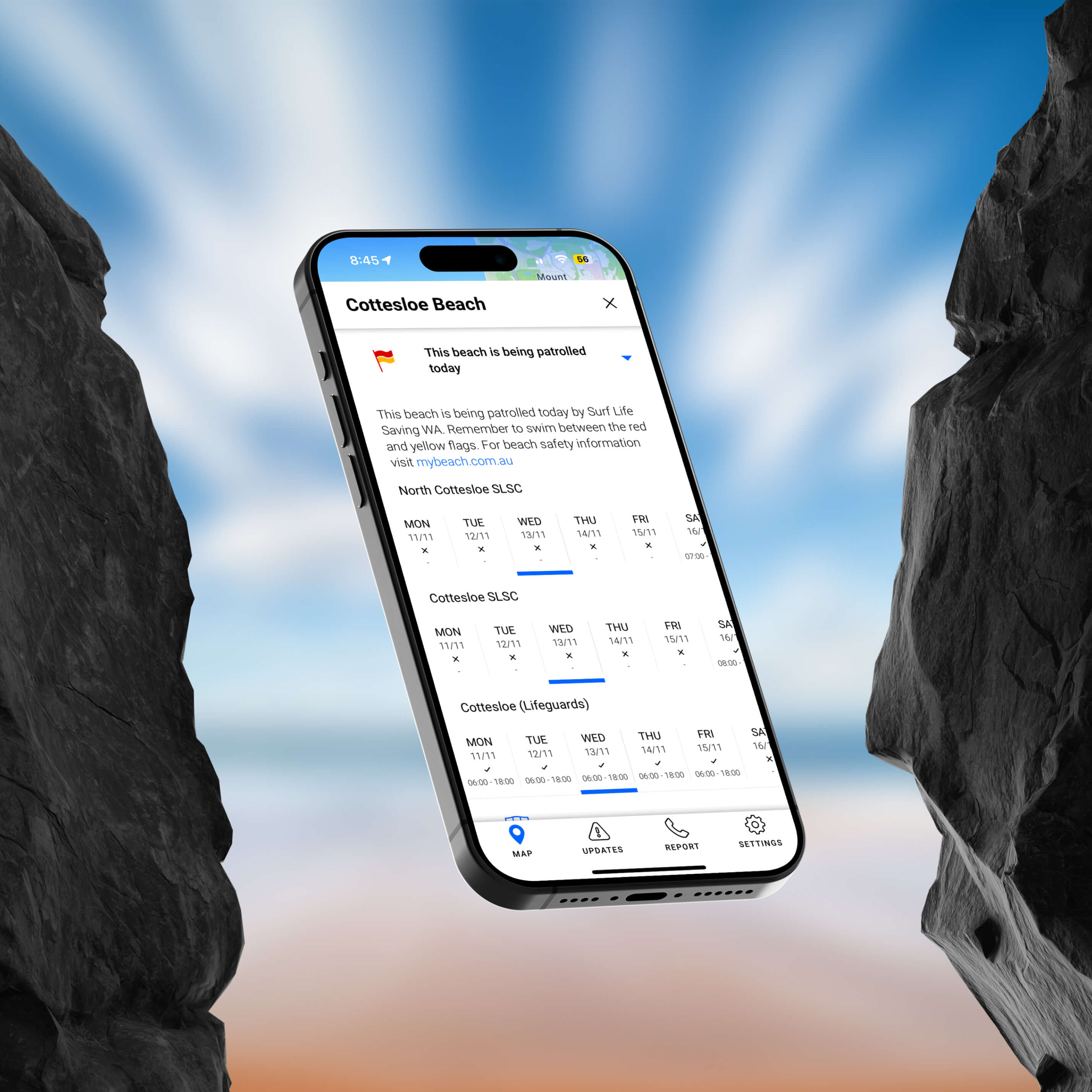
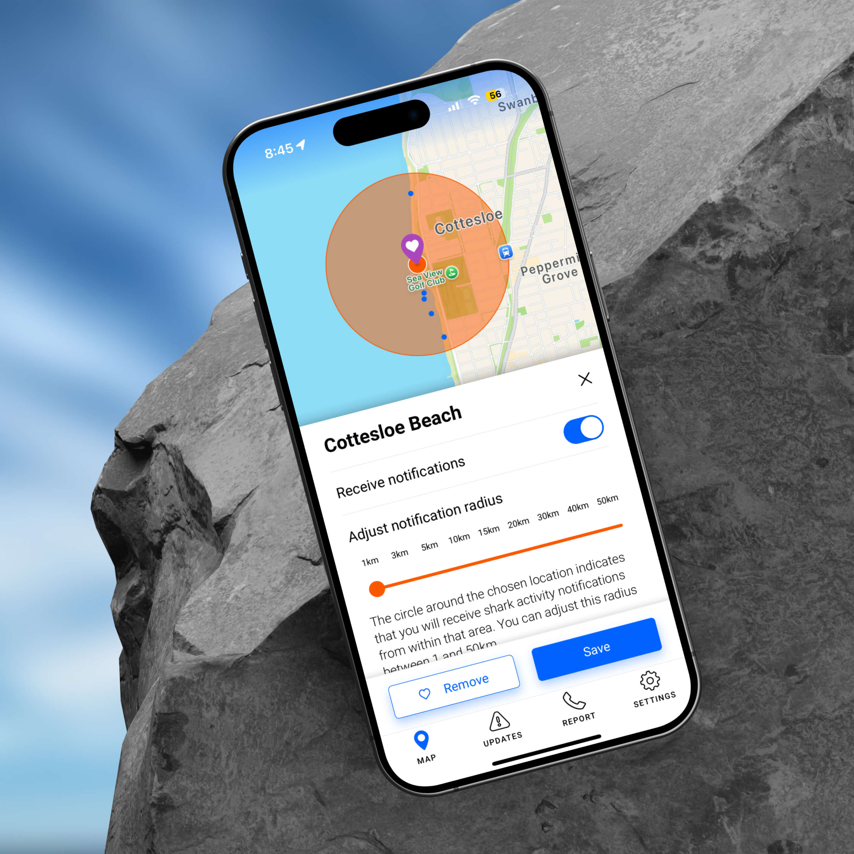
Now, planning a day at the beach is easy. The simple map interface allows users to discover and add their favourite coastal spots, then view a raft of helpful information attributed to those locations such as Surf Life Saving WA patrolled beach times, weather forecast and nearby shark activity.
Beach-goers can personalise their experience by saving favourite spots in order to trigger real-time notifications of shark activity and highlight important updates that are nearby, as well as provide the most accurate location information to be reported to Water Police in the case of a shark or whale carcass sighting.
To ensure that all the push notifications are sent quickly, each incoming event uses a purpose-built algorithm. When the system receives an event, it performs a number of spatial queries and applies filters across all app users to determine to whom notifications should be sent, based on peoples’ favourite locations and preferences. This is all done concurrently by multiple workers to ensure timely delivery of push notifications. It also uses additional smarts to ensure that if there is an outage, or the service needs to scale dramatically, the system will cope and make sure all the notifications are delivered in a timely fashion.
Built using React Native the two mobile apps speak to an app server — to access DPIRD’s content management system — built using a MongoDB Atlas cluster and an AWS instance to ensure availability of the information. At any time the service can also be scaled up to cope with greater demand. The service also utilises Firebase for messaging and analytics, and Willy Weather for live weather data.
Within 12 months, just before the start of summer 2021, the app reached 150,000 downloads and and average rating of 4.7 stars in the app stores ready for the beach-going season. As of 2024 the app now has over 150,000 downloads.
The app is available for free from Apple's App Store and Google Play.

